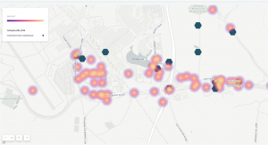
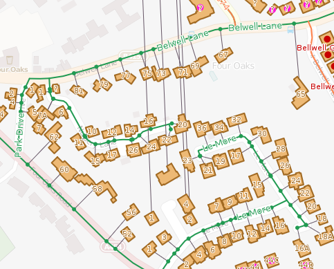
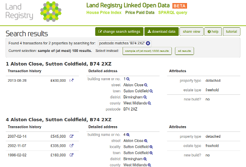
Mappa Mercia was at the 2 day Birmingham Highways Data Challenge hackathon last weekend where numerous datasets relating to highways and transport were made available. We won a prize for developing an HS2 HGV Traffic Heat Map. It’s not the finest visualisation, but we were up against a time constraint, poor initial data (essentially text descriptions of routes with no geolocation data) and having to learn new tools from scratch.
Judges remarks
A striking example of an entry that demonstrated shortcomings in the manner in which data is published by the organisation that some members of the team worked for, leading to them finding a fix for this which they will take back to their organisation; in this case HS2, with a recommended, enduring fix. Nothing like a bit of user testing to highlight improvements and a swift response by HS2 data managers to find a solution.
Team
Andrew Gaitskell (HS2) and Brian Prangle (OpenStreetMap / Mappa Mercia)
Description
Traffic heat map showing anticipated HS2 HGV traffic intensity and flows – for the purpose of visualising the data the developers chose forecasted HGV traffic flows around Birmingham International Airport arising from the siting of HS2 construction compounds.
Technology
ArcGIS to extract CSV data of Traffic Link and HS2 Compound Location Data from GeoDatabase file downloaded from eB (HS2’s document management system)
Online XY to Lat,Long coordinate converter. http://gridreferencefinder.com/batchConvert/batchConvert.php
Excel to manipulate data and match XY Conversions to Traffic Flow Data
OpenStreetMap for base map
Used https://carto.com/ to display the location of the compounds and Traffic flow data
Data used
Machine-readable extracts from published documents.
Additional data was required to identify the planned HS2 Compounds
GeoDatabase Files of HS2 Traffic Links and Compound Locations.
Prize
Raspberry Pi 3


