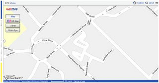
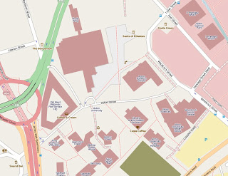
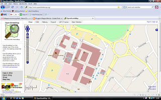
I was kindly invited in to map this area in East Birmingham following a request I made to the speakers at a presentation about the Shakespeare Express which runs from here. The Shakespeare Express is a scheduled steam service from Birmingham Snow Hill to Stratford and back every Sunday during the summer months. Walking along railway tracks makes a change from normal mapping!
Warwick Social and Mapping
Thanks to everyone who braved a gloomy drizzly August evening and the vagaries of Warwick’s scant provision for parking. We have certainly made Warwick look a little more cared for. Here are the results.
Before: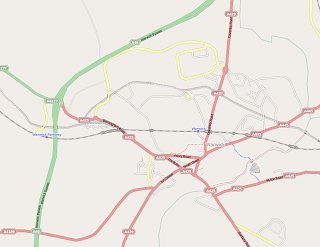 After:
 And here’s us in the Roebuck pub afterwards – you can’t see Mary cos she’s behind the camera.
Aston Uni almost complete
Had a series of meeting last week in Aston Science Park so I took the opportunity to walk around the campus improving the map. It was graduation ceremony time so there were lots of happy graduates and families around. I was still surprised not to be challenged by security given all the CCTV cameras there are. One of my hosts opined that I probably looked like a typical Aston Uni lecturer and the security bods thought they’d better not challenge me as they might be upsetting some research project!
The observant night notice that the Astroturf Pitch has disappeared to be replaced by a construction site. The Main Building is still providing some challenges! Students Guild and the City University Bdgs to the North of the campus are still to be surveyed and I might have missed some other bdgs back of Bishop Ryder House. Would you Edgbaston boys like some help with a micro-mapping party some time?
Chelmsley Wood
Public Transport Map of Birmingham
I added a tram relationship to the Midland Metro line today so hopefully the opnvkarte renderer will show this on the public transport map in a few days.
NaPTAN bus stop data – fun at the West Bromwich Mapping Party
The Bus Station was just too tempting, given the sparse nature of the the NaPTAN data on import, which you can see on the right. The blue vertical line represents the collection of bus stop nodes for the bus station.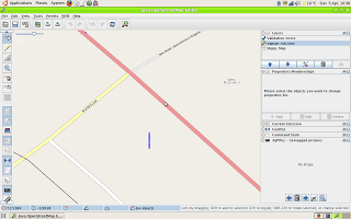
After a morning’s effort walking round the bus station with a camera and GPS ( couldn’t cycle round – everything except buses is banned for obvious reasons in the roadways) I got the following result after an afternoon’s editing.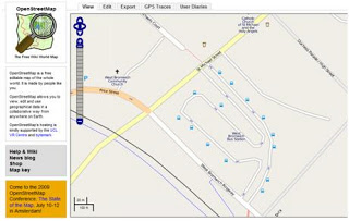 ,
,
You might say this is a bit slow but bus stops have an awful lot of information attached to them, like all the routes, which aren’t in the NaPTAN data. I also found two nodes that are in NapTAN, Stands W and X that no longer exist on the ground.
Just for comparison this is what Google does with the NapTAN data: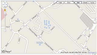
Microsoft Virtual Earth doesn’t show the NaPTAN data for bus stops at all, preferring to think that the bus station is maybe a railway station and a tram (Metro) stop!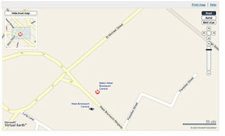
And Multimap plays it safe by ignoring everything public transport-based.