New month, new quarter, new project.
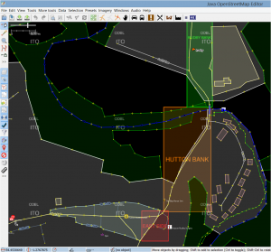
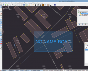
Our first attempt at a quarterly project has just finished, where fixing road names was the target. I’m sure there was an uplift in the rate of clearing these up and a big thank you to everyone who took part, but we don’t have any formal metrics (perhaps ITOworld might do some analysis on comparable rates across quarters) and there’s still a way to go to clear the total number of mis-named roads. What is clear is that there’s not enough mappers on the ground to tackle something basic like this and we don’t have a scalable method for contacting existing and potential mappers. I guess maintaining a map isn’t as exciting as creating one! Anyway as we proceed with quarterly projects hopefully we’ll evolve how to solve both problems.
Our goal with quarterly projects is obviously to improve the map in a co-ordinated way but also to try and develop the UK mapping community by reaching out to new audiences and to re-energise existing and lapsed mappers.
So, on to our next project: all things delivery-related
This could be Royal Mail postboxes (still loads to do); Royal Mail delivery offices and sorting offices; delivery areas/gates to factories and town centre shopping malls; maxheights and maxweights on roads; courier depots; distribution warehouses; new internet shopping parcel lockers (see wiki entry); there’s a new parcel-collection service based around mainline stations called Doddle.it; airfreight facilities; railway marshalling yards; secure lorry parks; port/dock facilities and anything else you can think of. All suggestions and stories welcome.


