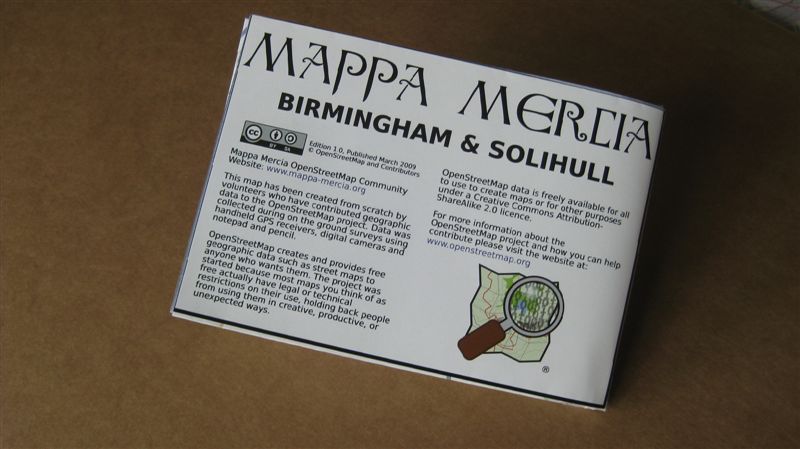
Import of the NaPTAN data for Birmingham has been completed as a trial and we can now start the job of bus stop verification and adding all the bus route information which is not available in the NaPTAN dataset.
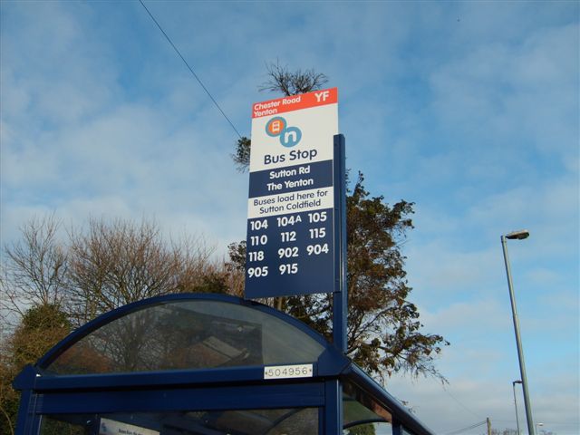
Here’s an example of the NaPTAN data merged with our own surveyed data:
|
|
|
| Edited at: |
Mon Mar 30 22:48:20 +0100 2009 |
| Edited by: |
blackadder |
| Tags: |
| naptan:NaptanCode = nwmdgpgm |
| route_ref = 104;104A;105;110;112;115;118;902;904;905;915 |
| naptan:CommonName = The Yenton |
| naptan:AtcoCode = 43000503702 |
| naptan:AdministrativeAreaRef = 105 |
| created_by = naptan2osm |
| asset_ref = 504956 |
| naptan:PlusbusZoneRef = BHAMNWS |
| towards = Sutton Coldfield |
| highway = bus_stop |
| naptan:Indicator = Stop YF |
| naptan:Street = SUTTON RD |
| source = naptan_import |
| shelter = yes |
| local_ref = YF |
|
|
 Import of the NaPTAN data for Birmingham has been completed as a trial and we can now start the job of bus stop verification and adding all the bus route information which is not available in the NaPTAN dataset.