Following a lengthy discussion on the talk-gb mailing list and several false starts, Ilya recently imported UK Shell petrol station data into OpenStreetMap.To confirm the quality of the third party data a brand new community validation tool was developed. Use of this tool highlighted a lot of inconsistency in the way we map – as such let’s make petrol stations the quarterly mapping project for Q1 2018.
According to Statistica there are some 8450 petrol stations in the UK. Compare this to OpenStreetMap, where TagInfo shows that we have mapped 7200. Not bad – just 1250 more to go! Let’s see if we can get to the magic 8450 by the end of the quarterly project (or show that the real number is indeed different). This also gives us a great opportunity to review the existing data, updating old tags to reflect on-the-ground change and converting petrol stations mapped as points (nodes) to ones mapped as areas (closed ways).
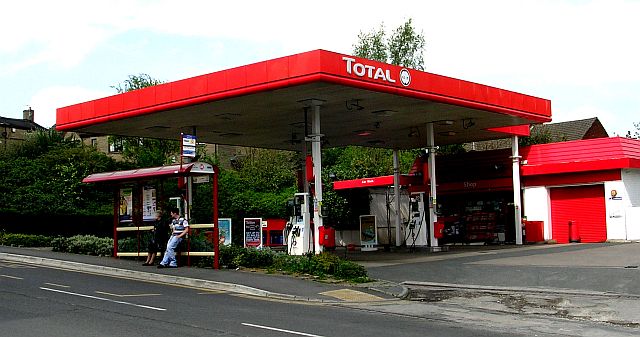
Image: CC-By-Sa 2.0 Betty Longbottom
Petrol stations with a fixme tag – Mappa Mercia
[…] we described when we kicked off this quarters UK project to map petrol stations, recent community validation of […]