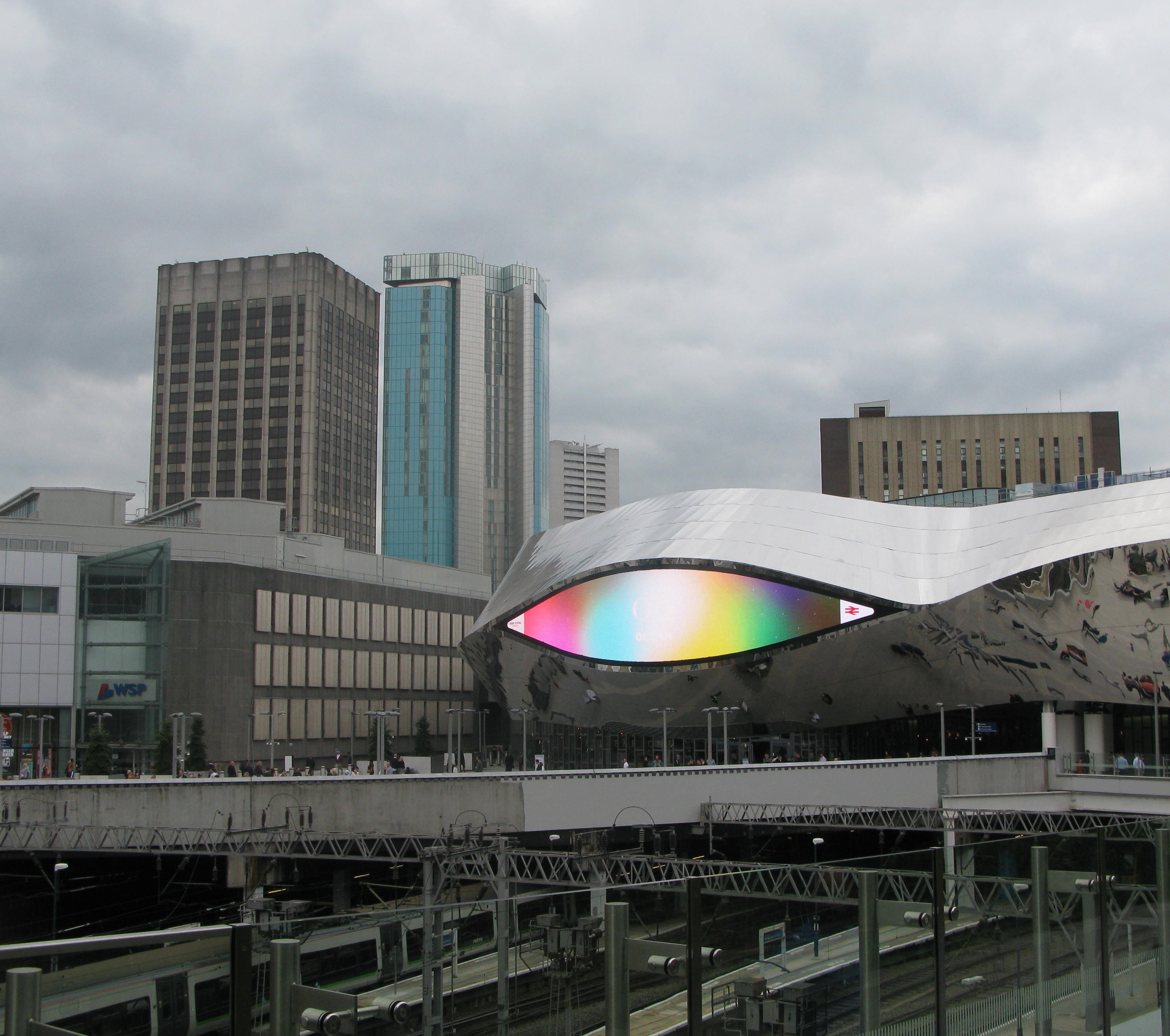
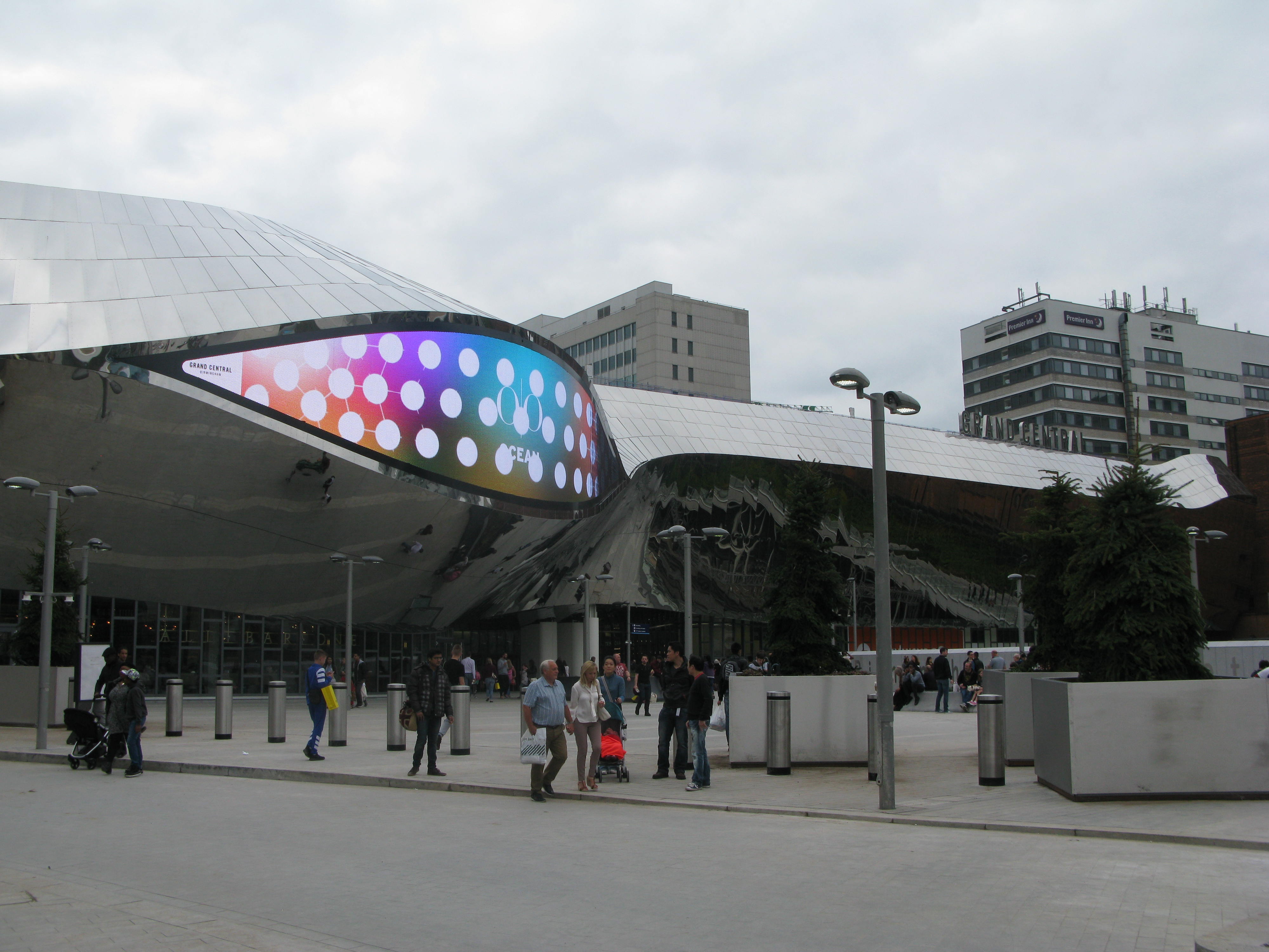
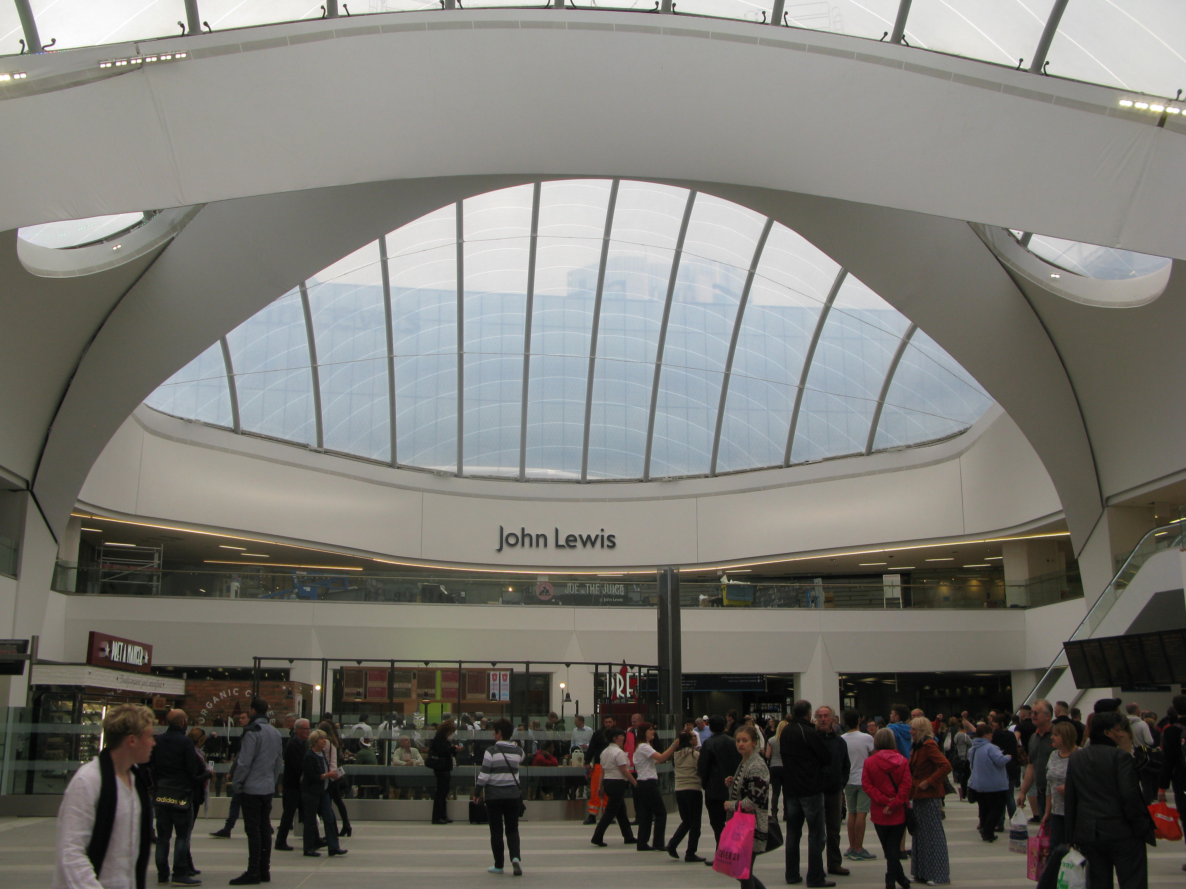
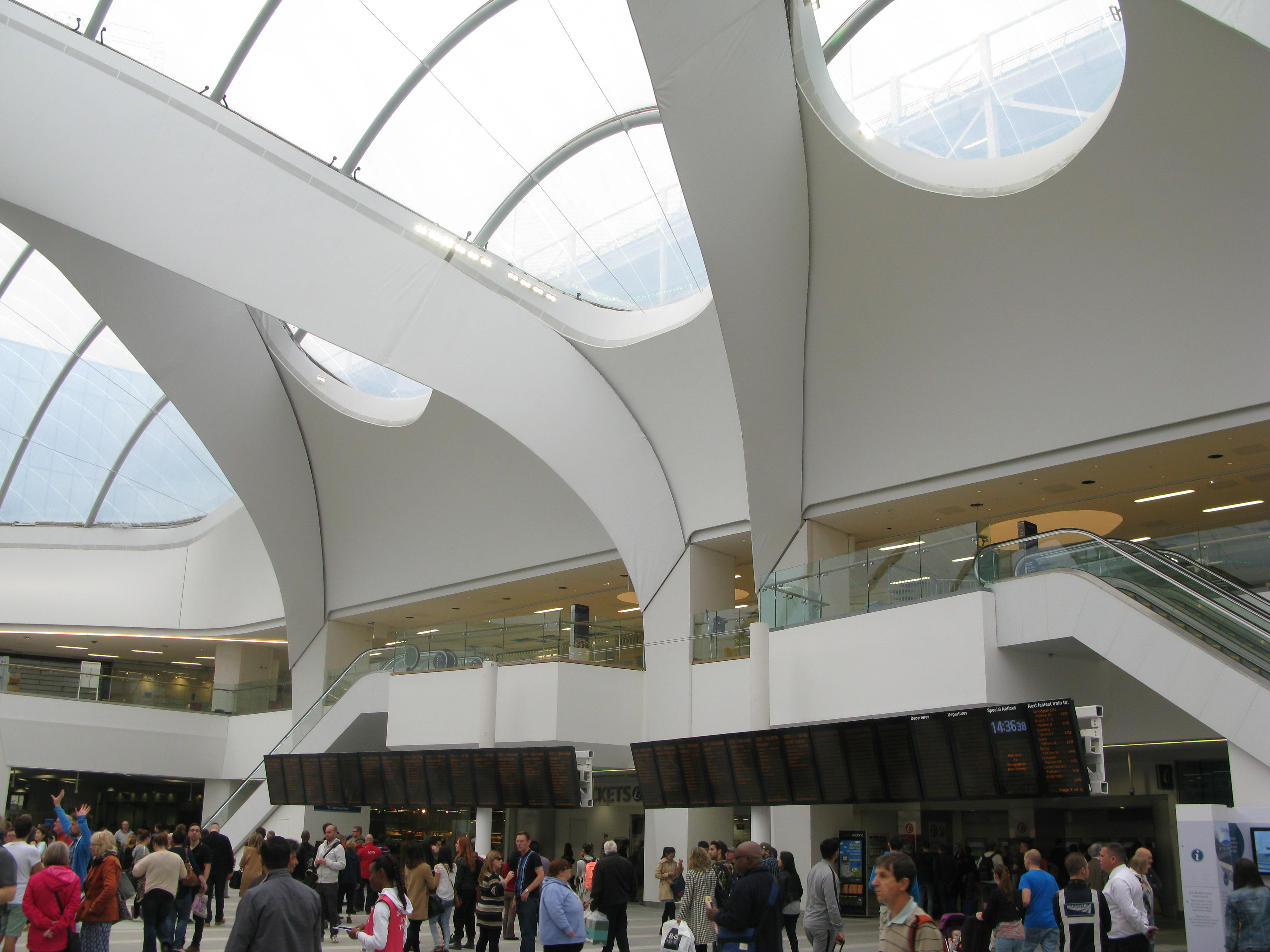
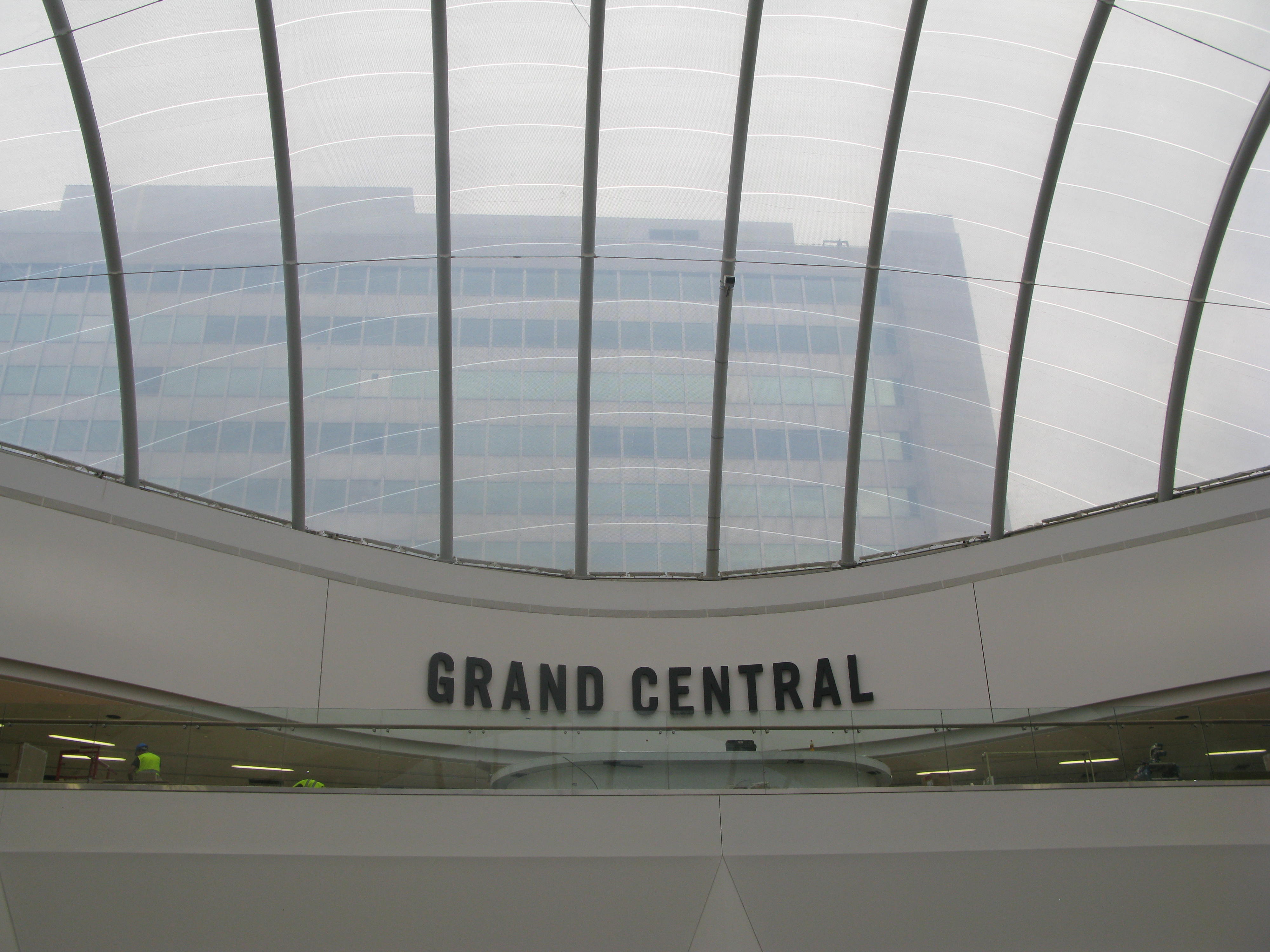
20 September saw the re-opening of Birmingham’s New Street Station after 5 years of redevelopment costing £750m. The project involved the demolition of Stephenson Tower, a residential tower block; and the removal of 6,000 tonnes of concrete in order to increase the station’s capacity; whilst keeping the station undernaeath operational. A new shopping mall, Grand Central, was also constucted on top of the station, with John Lewis as the flagship tenant. Grand Central is due to open 24 September. A new metro line from Snow Hill station to New Street station is also underway and scheduled to open at the end of October.
- 170,000 passengers a day use Birmingham New Street, nearly triple the 60,000 a day it was designed for when it was last rebuilt in the 1960s
- The new station can now handle 300,000 passengers per day
- New Street is the busiest station outside London, with a train leaving every 37 seconds
- 36 new escalators and 15 lifts, serving every platform, have been installed
- About 60% of rainwater “harvested” from the new-look building’s facade will be used to flush the station’s toilets
- About 1,000 workers were on site, 24 hours a day, seven days a week during the five-year revamp – increasing to 3,500 in its final months
Source: Network Rail
Needless to say OpenStreetMap was there on opening day and our map is now updated to show the new layout as far as pedestrian entrances and approaches is concerned. But there’s lots more to do yet. And the contractors (as always) haven’t quite finished so some detail can’t be mapped yet.
New Street station has a complex layout which will challenge us in representing its multiple layers.
Starting from the bottom layer we have
1.railway lines and platforms
2.Station concourse
(multiple lifts,stairs and escalators joining 1 and 2 above)
3.Shopping mall
(multiple lifts,stairs and escalators joining 2 and 3 above)
4. Car Park
In addition there is a 10 storey office block on part of the building and the North and South entrances are at different levels.
So we need to do some head scratching and planning to get it right: so PLEASE can non-local mappers offer your advice and not just enthusiastically start adding multiple POIs and footways otherwise we’ll end up with an undecipherable jumble.
There’ll be a discussion thread up soon on talkgb where contributions can be planned. Help from public transport, railway and 3D mappers will be greatly appreciated.
weekly 271 | weekly – semanario – hebdo – săptămânal – haftalık – 週刊 – týdeník – edisi
[…] Mercia blogs about the reopening of the railway station in Birmingham after its extension and development. […]
Fref
Trying to get a layout diagram of the new station seems impossible only old 2013 are accessible.