May 2012 meetup

posted in: Mapping Party | 0

Thursday May 3 saw us on the first of our summer itinerant meetings where we strike out from our regular winter quarters of a regular pub in Birmingham, and go touring around the region. This has two benefits: it gets us taking advantage of the light evenings to go mapping for about an hour prior to our meeting and thereby improving some neglected areas, and it gets us closer to those mappers who find it inconvenient to get to the centre of Birmingham.

So we met up in the White Lion Inn in the little village of Hampton-In-Arden in Solihull close to Birmingham International Airport and Train station and roughly halfway between Birmingham and Coventry. We had picked the pub at random and it turned out to be great, with good food and real ales. It’s a 17th century inn and is a Listed Building.

The weather was foul so not much mapping got done, but we did get to meet some new people: Eike from Tamworth (tamritt) and Matt from Coventry (milliams). It was nice to meet people whose work you keep seeing as you edit.

Perhaps the most interesting mapping “discovery” was a Coptic Orthodox church – one of only 12 in the whole country.

The conversation, as usual, ranged far and wide over all things mapping. We did come to a couple of decisions, however: we’re going to revamp the mappa mercia website and also to hold a small “hack” event, hopefully in conjunction with the local social media activists.

For those of you who picture Solihull as an affluent suburb of Birmingham famous only as the place where the world’s Land Rovers are manufactured and are surprised it has country villages: Solihull stretches between Birmingham and Coventry and some way south into Warwickshire and is probably as rural as it is urban – hence its official motto Urbs in Rure (Town in Country).

See you in Coventry next month! Watch the mappa mercia OSM wiki page for details of venue.

February Mappa-Mercia meetup

posted in: Mapping Party | 2

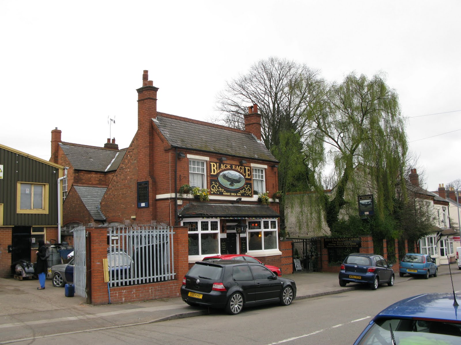
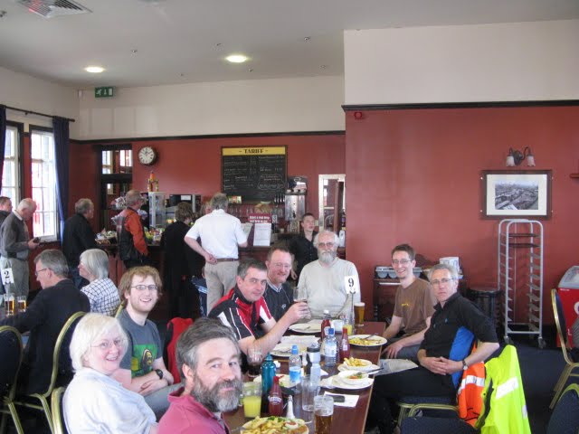
Our February meetup  took place in a new venue – the Crown Inn on Newton Street opposite the Crown Court. The beer and the food are cheaper (especially the BOGOF* on desserts) and no less good and there’s more room. The only drawback is there’s no wifi. It’s also closer to the main rail stations. So it’s our new permanent venue until we go visiting around the region again from May onwards to take advantage of the light evenings and surveying time.

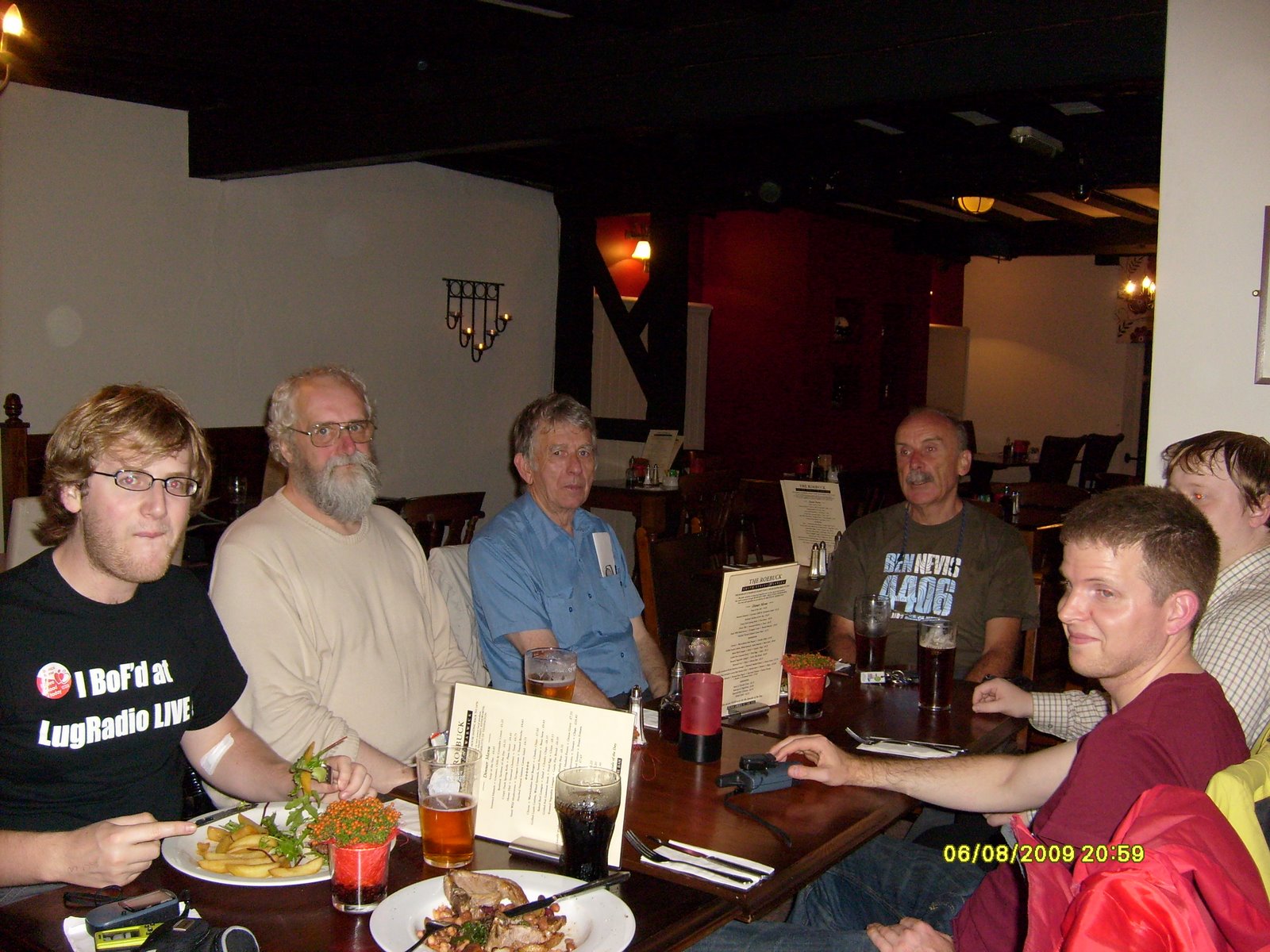
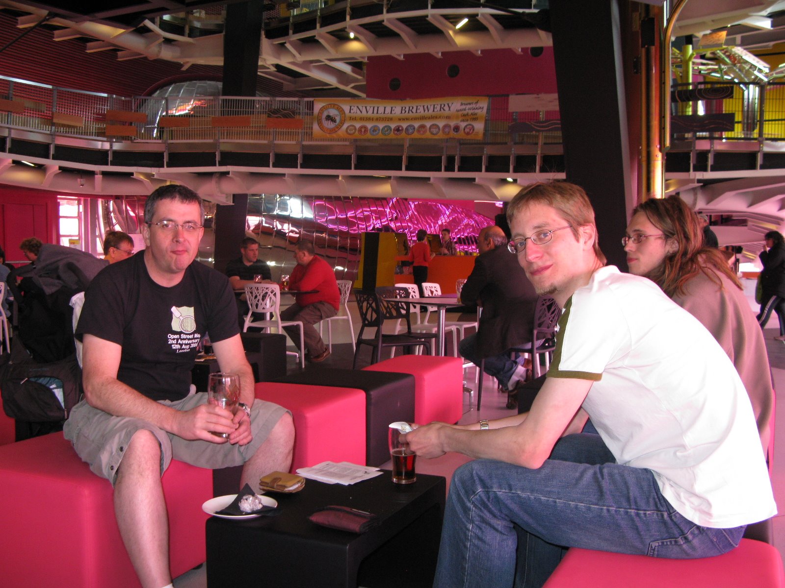
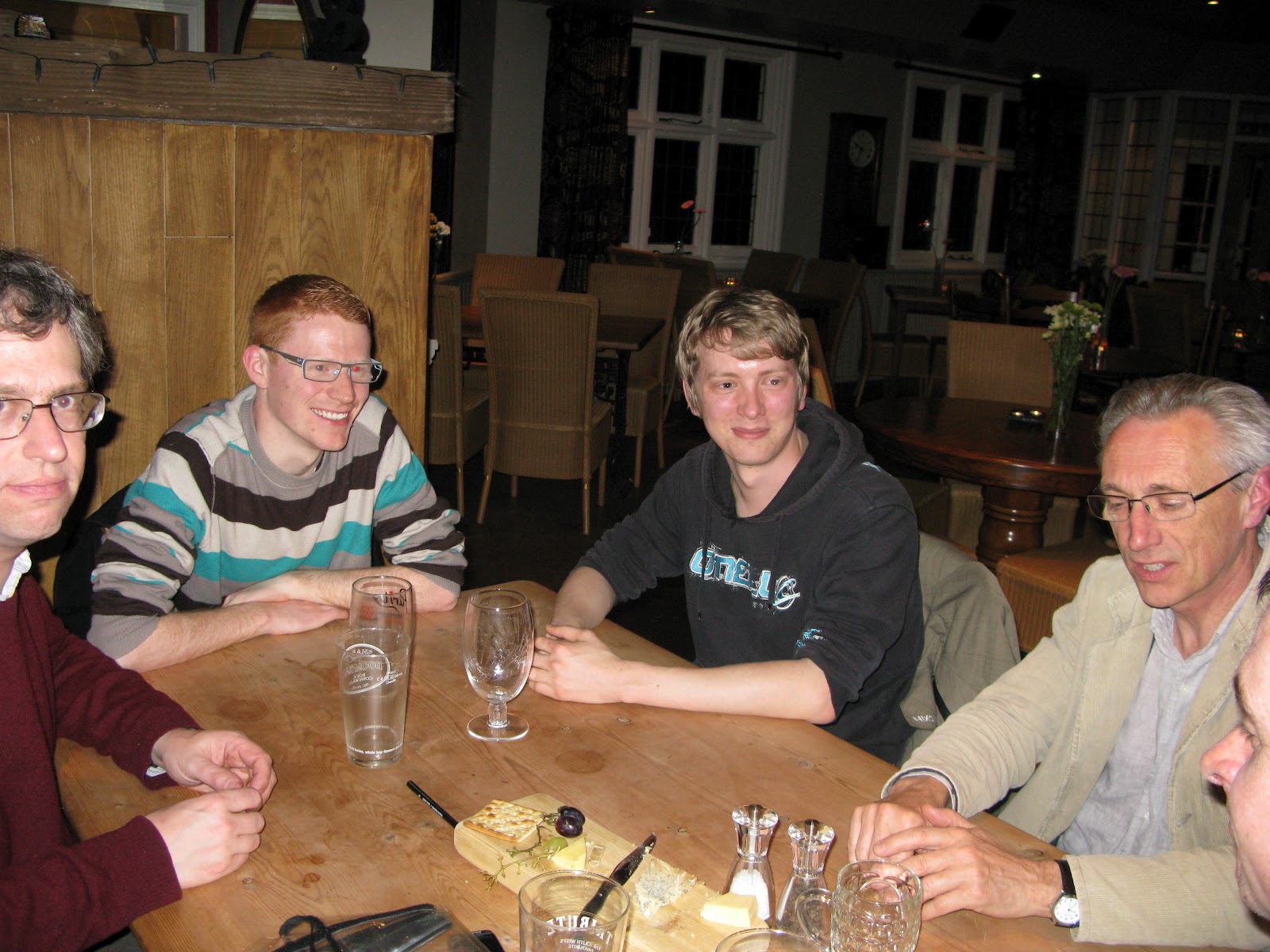
We had a good turnout of seven: Steve and Ian from Worcesterhire; Pete from Warwickshire and the old regulars – Mike, Brian, Andy and Andrew.

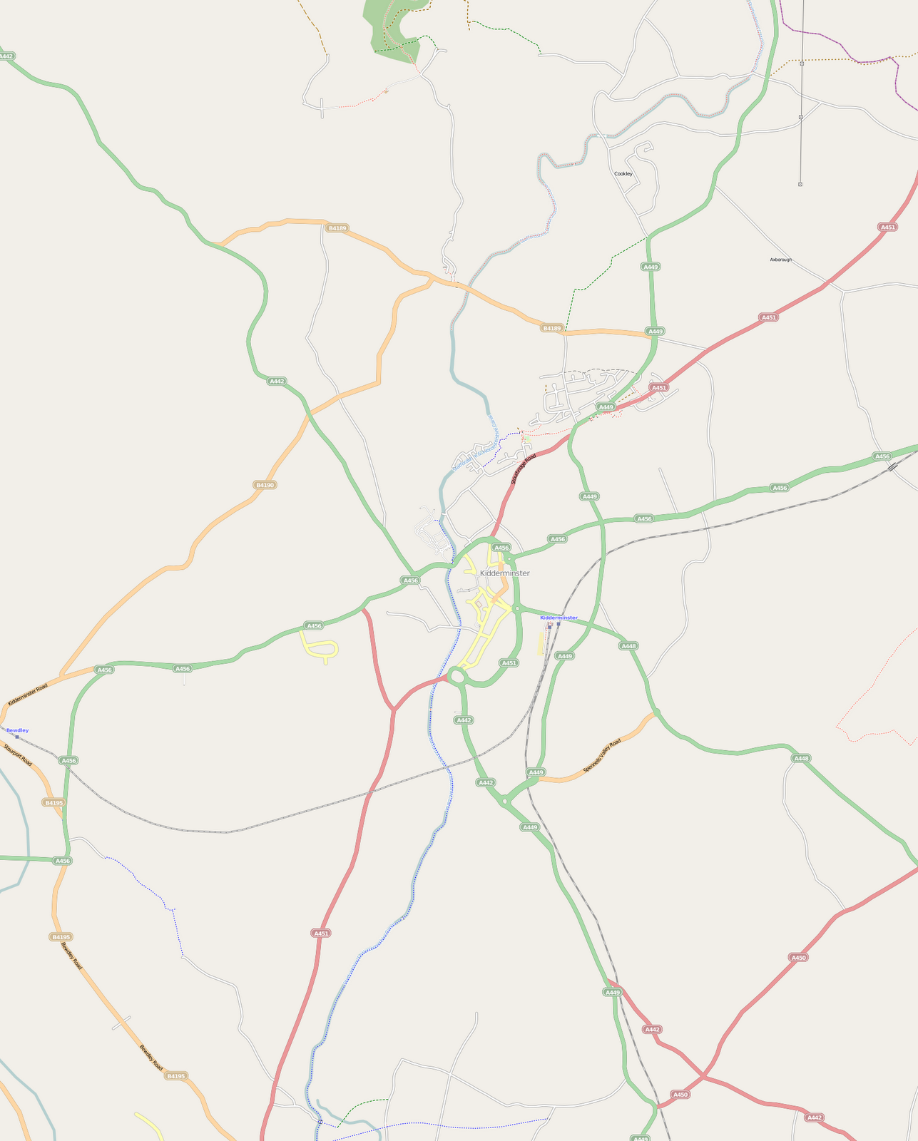
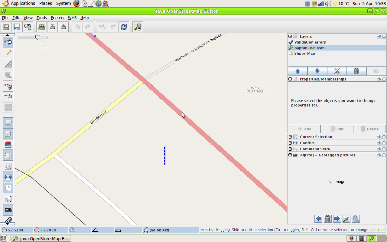
What most exercised us was the remapping  effort, with our region being particularly troubled by one local contributor who had been a keen mapper and is unlikely to agree to the new CTs. Coventry and the Malverns were two particularly hard hit areas. Another was Kingswinford, where there had been no response from the mapper involved. We felt we would be in good shape by April 1st as most of the motorways, trunk , primary and secondary roads were now clean.

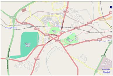
We will pay special attention to Warwickshire where Pete informed us about the plans the County Council has to use OpenStreetMap.  More about that when it’s fully live and public.  Pete was keen to see if there was a means by which map features generated in OpenLayers could be edited into OSM automatically.

There were different opinions about the sprouting of a continuous stream of “HS2” text strings  along the route of the proposed HS2 London-Birmingham High Speed Train route on the main Mapnik render.  It was a good indicator of where the route went without examining the layer which had the detailed  layout of the proposed route; but it was not good cartographic style to have the name of a proposed feature which is still at least 15 years away from completion cluttering up today’s map. This raised a more general point with Mapnik rendering names of all kinds of features not present on the ground which clutter up the map (e.g. Parish and Ward boundaries in urban areas).

We all decided to participate, even if it was only for a few hours, in the Night of the living Maps on February 7th. Those of you who couldn’t attend at the Crown Inn are encouraged to join in.  Hope we don’t get too many editing clashes

Andrew wanted people to know about a grant initiative for the developing world, details of which can be found here http://api.ids.ac.uk/about/grants.shtml Andrew had found it on the open data development mailing list which gives all the background. Deadline 13th February, but they have said there will more grants like this in future.

Andrew is still travelling around Warwickshire mapping and cataloguing allotments so we can build on the West Midlands data set which is mapped (roughly!) here as part of our collaboration with http://allotmentdata.org/

Steve had been busy mapping the Parishes in Worcestershire and has kindly provided the data in a usable form for us to complete the West Midlands. We shall get cracking in earnest on this once the remapping is under control, although we’re a little hesitant about “name clutter” – see above.

We discussed what to do with the FOI request which had revealed the Marketing Birmingham ( a public organisation) had spent  over £80,000 drawing a map from aerial imagery, where with a little collaboration with us, would have cost a mere fraction of that.

We still haven’t had a reply from Centro about the City Centre reconfiguration of bus stops and road direction changes to make way for the proposed Metro extension. Work has started already on the ground reconfiguring Moor Street Queensway. Andy said he would add the proposed Metro route extension to the map.

We went through our change register to see what needed updating.  We also discussed how to improve it to make it more usable, by having links to the map for each change; and by eventually having every piece of brownfield land logged.

We didn’t get round to discussing the Jewellery Quarter tourist walking route which Andy M had pointed out was missing by email and for which there was some dispute as to whether it’s actually waymarked on the ground. Even though several of us have surveyed the area no-one could remember distinctly seeing waymarks but then we probably weren’t looking for them! Sorry Andy!

We now have an up to date list of all the taxi ranks from Birmingham City Council which will be a great aid in future surveys and also to jog some memories about past surveys. Expect to see more taxi ranks soon on the map.

We looked nostalgically at the paper map Andy produced in December 2009 to celebrate what we thought was a complete map of the area inside the M6-M5-M42 motorway ring. Complete? How wrong we were!  But as we looked at the map on the table and reminisced that all the roads (except the motorways) had been surveyed by bicycle or foot with GPS devices with no aerial imagery to help us, we realised what a great achievement it was. So …. we thought what a great idea it would be to produce another paper map for December 2012 if we could raise enough funds, particularly as we think we might have every building mapped within the Birmingham City Council borders mapped by then. If anyone wants, for historical purposes, a copy of  the 2009 map, contact Blackadder.

*for non-UK readers BOGOF  Buy One Get One Free
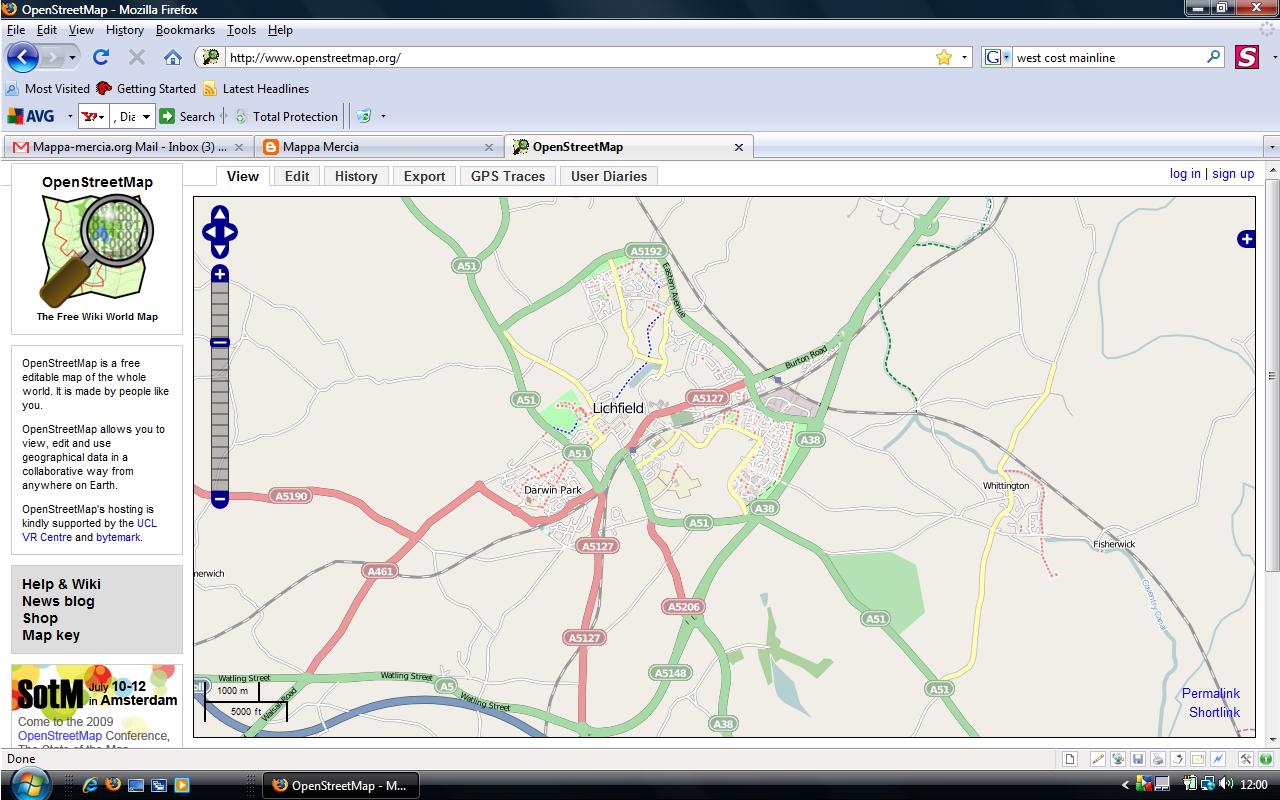
August Midland Mappers Meet

posted in: Mapping Party | 0

After some mapping activity in the area of Smethwick which is to the North West  of Birmingham we ended up in the excellent little pub The Black Eagle on the aptly named Factory Road. The pub is like a country pub complete with garden and serves great food and real ale, including the famed Black Country brew Batham’s Bitter. It was so good we’re meeting there next month (nearest metro stop is Soho Benson Road)

We discussed the impact of losing data from people who have not accepted the new CTs; how to recruit new mappers; how to deal with rogue mappers; the possibility arranging some skills transfers sessions and creating a wiki log of all the upcoming re-developments in the region to remind ourselves of future mapping surveys.

The major landmark in the pre-meeting survey of the area was the Soho Foundry created by Matthew Boutlon and James Watt in 1795 which still fronts a large industrial site now operated by Avery Weightronix. The low mark of the evening was the sadly dilapidated Black Patch Park groaning under the weight of fly tippers rubbish.

Recognition at last!

posted in: Mapping Party, Participate | 0

Many thanks to Christoph (OSM username Xoff) on his departure to Germany after completing his PhD. Christoph performed sterling surveying work over much of SW Birmingham and also contributed a huge technical resource in developing our website mappa-mercia.org and creating NOVAM for verifying NaPTAN bus stops. Good luck in you future career Christoph!

Kidderminster Mapping Party April 17th 2010


Nine mappers turned out to enjoy a glorious sunny Spring day cycling and walking around Kidderminster to help out Gavin who lives there. As you can see from the map comparisons we covered some miles. We had a splendid lunch accompanied (mostly) by Bathams Bitter at the King & Castle which is on the old GWR railway station (now the terminus of the Severn Valley Railway). Brian had a run-in with an irate landowner and Christophe discovered a blue plaque explaining the history of carpet making (see above). The afternoon was accompanied by the sound of the crowd watching Kidderminster get beaten 2-0 by Stevenage.
(More edits will trickle in so there’ll be a final map soon)

Warwick Social and Mapping

posted in: Map Improvements, Mapping Party | 1

Thanks to everyone who braved a gloomy drizzly August evening and the vagaries of Warwick’s scant provision for parking. We have certainly made Warwick look a little more cared for. Here are the results.

Before:
After:
And here’s us in the Roebuck pub afterwards – you can’t see Mary cos she’s behind the camera.

Lichfield Social July

posted in: Mapping Party | 0

On a glorious summer’s evening we altered our regular monthly social meeting venue to the city of Lichfield. For the first hour we mapped and then spent the rest of the evening through dusk sitting in the pub garden eating, drinking, making merry and talking maps, maps, maps. We had our best turnout, with Paul, Peter, Andy, Christophe, Mike and Brian making the journey.

More Fun at the West Bromwich Mapping Party

posted in: Mapping Party | 0

It wasn’t all mapping and editing at West Bromwich this weekend. Our party coincided with a Beer Festival complete with live music. Our party was held in the West Bromwich’s major new architectural land mark The Public, and was arranged for us by the local MP Tom Watson, who as Minister for Digital Engagement is keen to see community involvement such as ours and is also a keen advocate of freeing up government data.

We had 12 people out on the Saturday, some of them new to mapping and 7 on the Sunday. Saturday evening saw us sampling West Brom’s finest curries

No doubt there’ll be other pictures up here soon – I wasn’t the only one snapping away!

NaPTAN bus stop data – fun at the West Bromwich Mapping Party

posted in: Map Improvements, Mapping Party | 0

The Bus Station was just too tempting, given the sparse nature of the the NaPTAN data on import, which you can see on the right. The blue vertical line represents the collection of bus stop nodes for the bus station.

After a morning’s effort walking round the bus station with a camera and GPS ( couldn’t cycle round – everything except buses is banned for obvious reasons in the roadways) I got the following result after an afternoon’s editing.,

You might say this is a bit slow but bus stops have an awful lot of information attached to them, like all the routes, which aren’t in the NaPTAN data. I also found two nodes that are in NapTAN, Stands W and X that no longer exist on the ground.

Just for comparison this is what Google does with the NapTAN data:

Microsoft Virtual Earth doesn’t show the NaPTAN data for bus stops at all, preferring to think that the bus station is maybe a railway station and a tram (Metro) stop!

And Multimap plays it safe by ignoring everything public transport-based.