Progress on our fifth OpenStreetMap quarterly project – schools – continues to delight. Today we congratulate the HS (Outer Hebrides) and ZE (Shetland Islands) postcodes for becoming the first to reach 100% completeness!
Not even a month in to the latest UK Quarterly Projects and there has already been so much to celebrate. Here are the highlights from the third update on our project to map Schools.
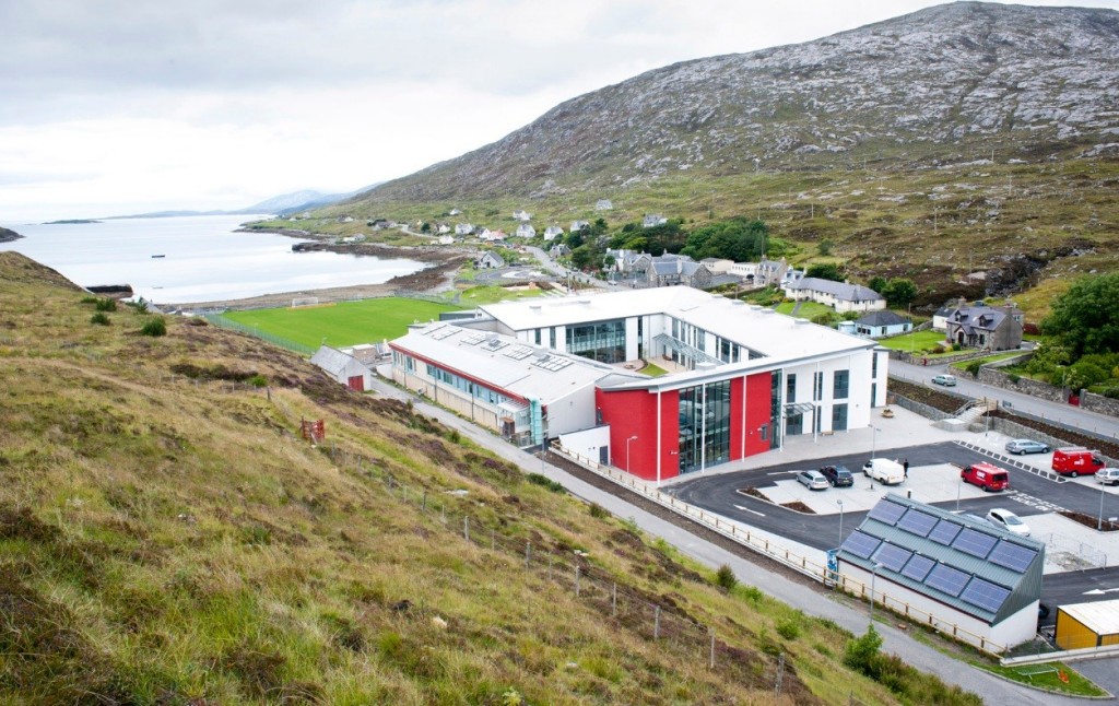
1. HS and ZE are 100% complete!
Yes you read it right! Mapping of schools in the HS (Outer Hebrides) and ZE (Shetland Islands) postcodes are complete thanks to the efforts of OpenStreetMapper seumas. This means that all schools are mapped as a land area at minimum. We continue to add detail (e.g. buildings, sports pitches and paths) to further improve the mapping of the schools. Many other postcodes (most with more schools within them 😉 ) are close to 100% complete now too. Follow the progress here.
2. Open Data Manchester
Following a tweet Open Data Manchester have asked whether anyone can go and show them how to map. Looks like their next meeting is Monday February 1st, 6.30 – 8.30pm. Any volunteers?
3. 175 people have done 5351 edits
Amazing numbers measured by Harry’s tracker. Looks like Uganda has joined the project too. It would be great if someone could turn the CSV linked data at the bottom of the tracker into a daily chart. Drop us a comment below if you are able to help.
4. Nodes converted to ways
Following lot’s of data clean up we are nearing 80% of schools mapped as land areas rather than simple points. We should hit this in the next couple of days.
5. Northern Ireland still needs some work
If you map in Northern Ireland and want to get involved please do. Each extra school mapped there will help lift it off the bottom of the tracker. We can also look at doing some initiatives in NI if the local community want this. Let us know 🙂
Interested in mapping schools in your area? To join us see here. Never mapped before? No worries, contact us for a helping hand.
UK mapping hot-spots | Mappa Mercia
[…] Yorkshire is doing well (mapping is across the county not just in the larger urban areas) and as previously noted the Outer Hebrides and Shetland […]