More Fun at the West Bromwich Mapping Party

posted in: Mapping Party | 0

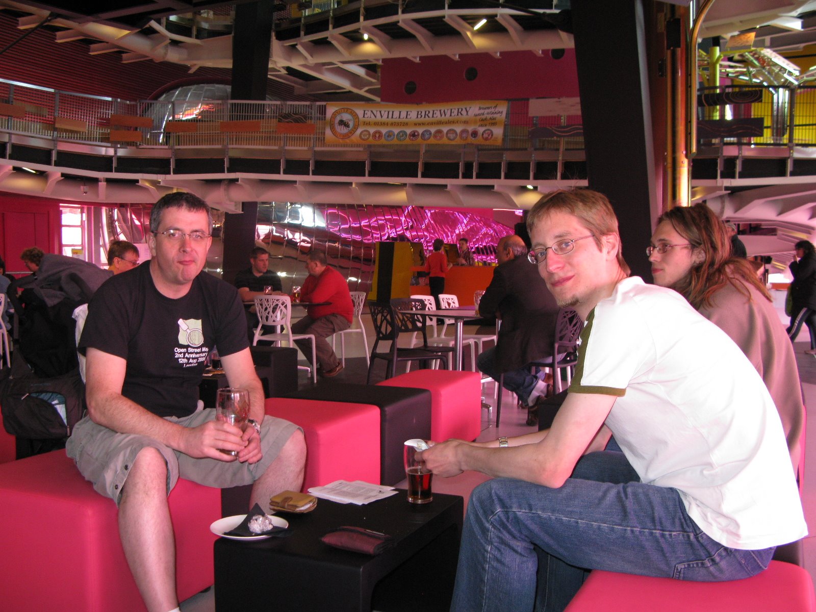
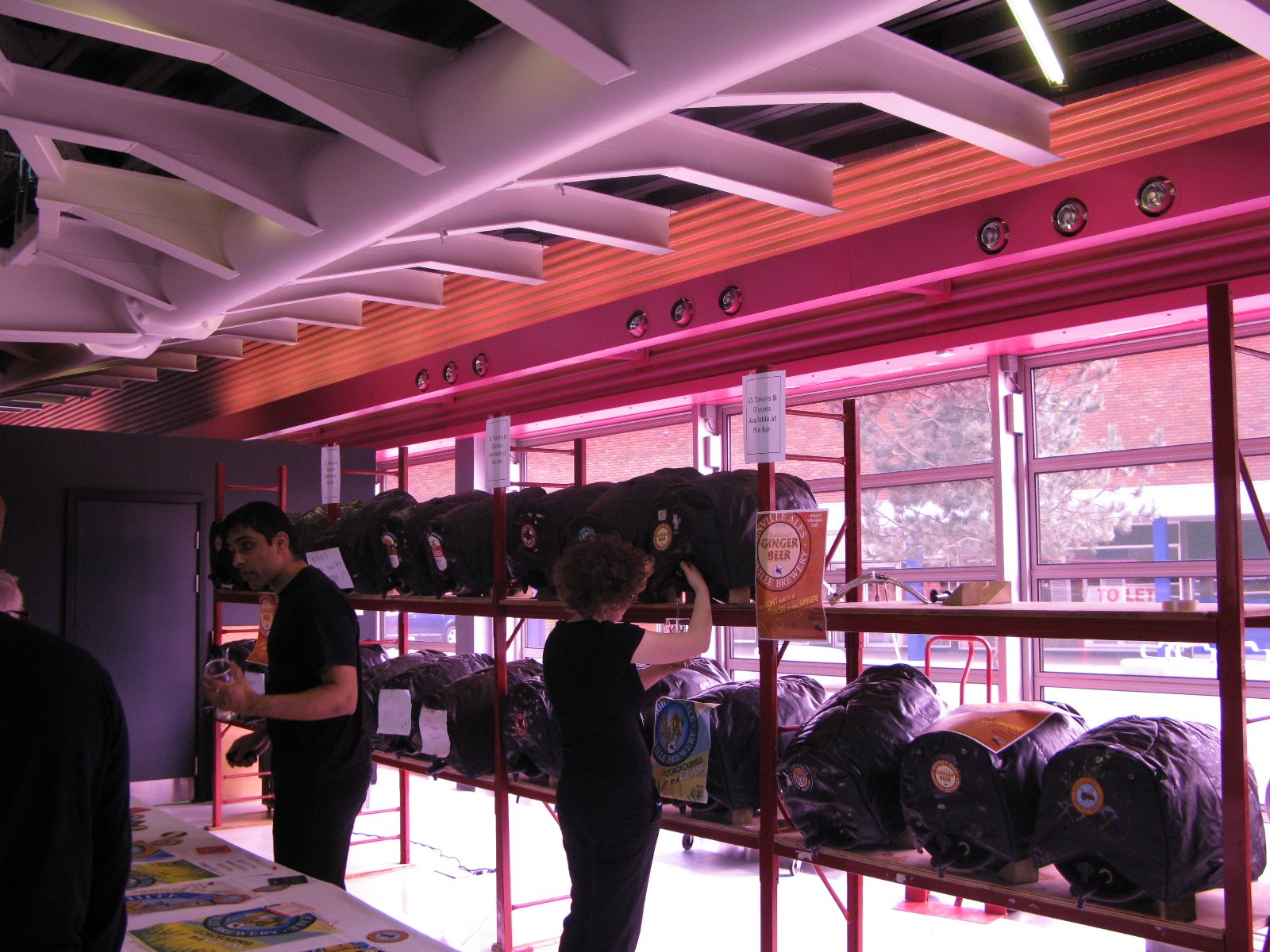
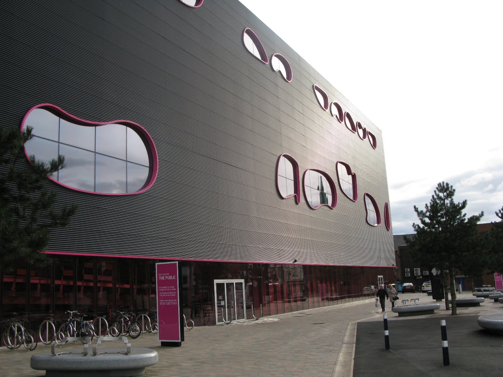
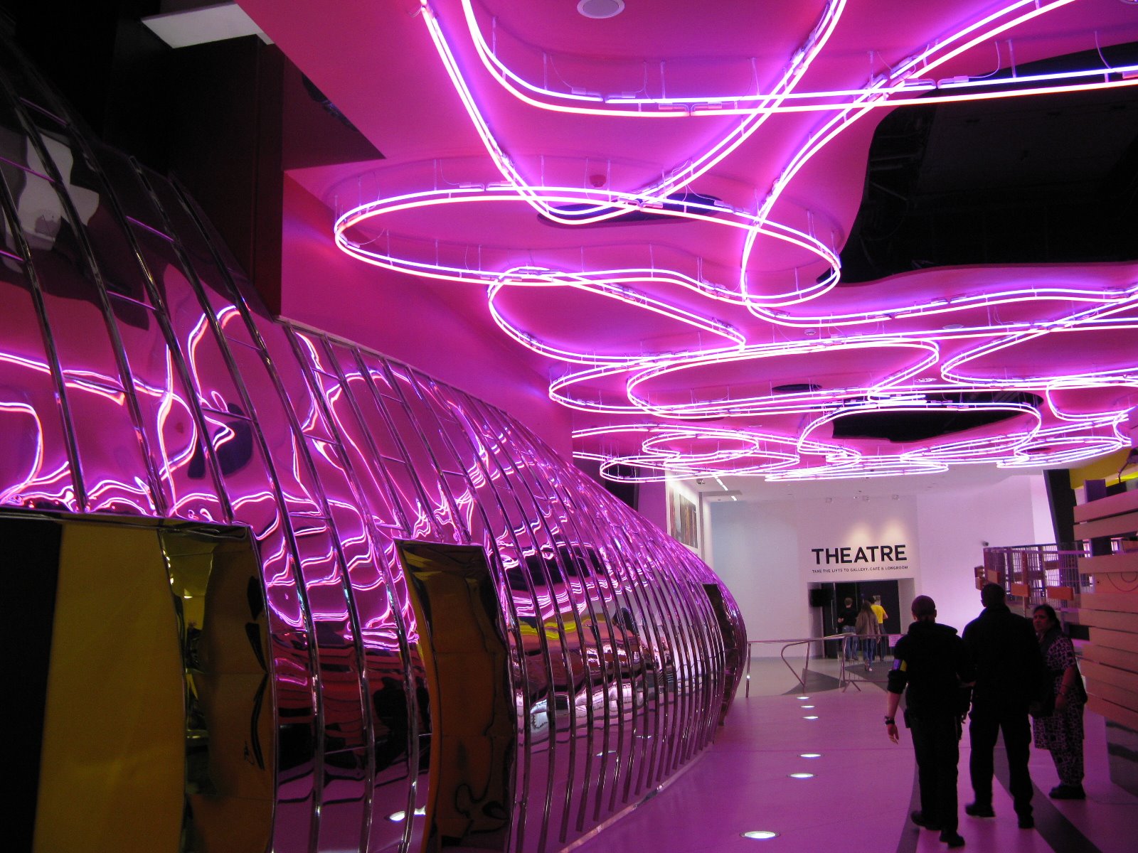
It wasn’t all mapping and editing at West Bromwich this weekend. Our party coincided with a Beer Festival complete with live music. Our party was held in the West Bromwich’s major new architectural land mark The Public, and was arranged for us by the local MP Tom Watson, who as Minister for Digital Engagement is keen to see community involvement such as ours and is also a keen advocate of freeing up government data.

We had 12 people out on the Saturday, some of them new to mapping and 7 on the Sunday. Saturday evening saw us sampling West Brom’s finest curries

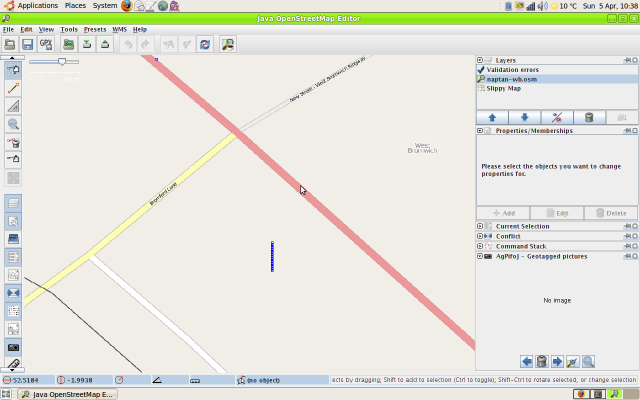
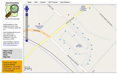
No doubt there’ll be other pictures up here soon – I wasn’t the only one snapping away!

NaPTAN bus stop data – fun at the West Bromwich Mapping Party

posted in: Map Improvements, Mapping Party | 0

The Bus Station was just too tempting, given the sparse nature of the the NaPTAN data on import, which you can see on the right. The blue vertical line represents the collection of bus stop nodes for the bus station.

After a morning’s effort walking round the bus station with a camera and GPS ( couldn’t cycle round – everything except buses is banned for obvious reasons in the roadways) I got the following result after an afternoon’s editing.,

You might say this is a bit slow but bus stops have an awful lot of information attached to them, like all the routes, which aren’t in the NaPTAN data. I also found two nodes that are in NapTAN, Stands W and X that no longer exist on the ground.

Just for comparison this is what Google does with the NapTAN data:

Microsoft Virtual Earth doesn’t show the NaPTAN data for bus stops at all, preferring to think that the bus station is maybe a railway station and a tram (Metro) stop!

And Multimap plays it safe by ignoring everything public transport-based.

Birmingham gets NaPTANed

posted in: Participate | 0

Import of the NaPTAN data for Birmingham has been completed as a trial and we can now start the job of bus stop verification and adding all the bus route information which is not available in the NaPTAN dataset.

Here’s an example of the NaPTAN data merged with our own surveyed data:

Node: #367691014

 
Edited at: Mon Mar 30 22:48:20 +0100 2009
Edited by: blackadder
Tags:
naptan:NaptanCode = nwmdgpgm
route_ref = 104;104A;105;110;112;115;118;902;904;905;915
naptan:CommonName = The Yenton
naptan:AtcoCode = 43000503702
naptan:AdministrativeAreaRef = 105
created_by = naptan2osm
asset_ref = 504956
naptan:PlusbusZoneRef = BHAMNWS
towards = Sutton Coldfield
highway = bus_stop
naptan:Indicator = Stop YF
naptan:Street = SUTTON RD
source = naptan_import
shelter = yes
local_ref = YF